Family Activities
Auditing parks and play space before the Fourth
How a borough surveys open space, maps catchments and applies standards before planning a Fourth of July, from PPG17 audits to playing pitch strategies.
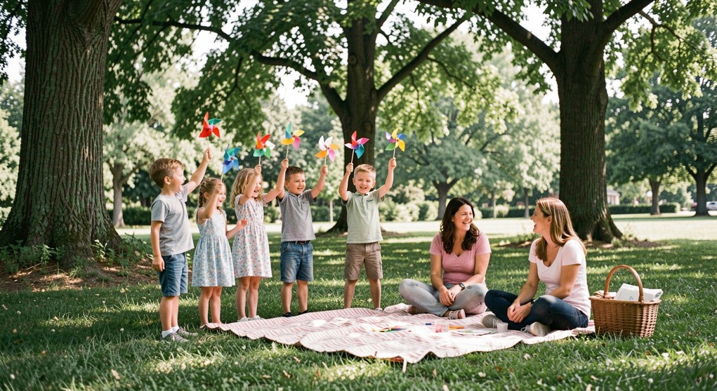
A borough audits its parks and play space before it plans a Fourth of July by first counting what exists, then mapping who can reach it, then measuring both against published standards. The audit comes before the event because the same fields, riverbanks and village greens that host the fireworks and the parade are the open space the council is required to plan for all year. The Fourth is one day on a calendar that a parks department manages across twelve months.
How a PPG17 open space assessment worked
PPG17 was the UK government's planning policy guidance on open space, sport and recreation, in force from 2002 until the National Planning Policy Framework replaced it in 2012. A PPG17 assessment began with an audit: every parcel of open space in a district was listed, visited and classified, from parks and gardens to natural green space, amenity grassland, play areas and playing pitches. Each site was scored for quality and for value, using a consistent field form so that a small pocket park in one ward could be compared with a country park in another.
The audit then moved to provision standards. The council asked what quantity of each type of open space a given population should have within a given distance, what quality that space should reach, and how accessible it should be. Those three numbers, quantity, quality and accessibility, became the standards against which every future planning application was tested. A developer proposing homes on the edge of town had to show that the new residents could reach the open space the standard required, or pay toward providing it.
The method was documented in service pages by the planning consultancies that ran the work. Ashley Godfrey Associates, a Ware-based practice active from 2007 to 2019, described audits of provision, structured consultation and mapping as core methods, and its archived pages set out how a PPG17 open space assessment moved from field survey to standard. The practice worked for councils including Erewash Borough Council, the London Borough of Harrow and Medway Council, and its site closed with a note that Ashley had retired. The method outlived the firm; the NPPF kept the evidence base, if not the acronym.
What do surveys and audits of local provision actually measure?
A survey of local provision measures three things at once: what is there, what condition it is in, and who uses it. The field team walks each site with a map, a camera and a form. They record the boundary, the surface, the equipment, the bins, the benches, the paths, the trees and the entrances. They note whether the play area has a safety surface, whether the pitch drains, whether the gate opens. A play area with broken swings is still open space on the map, but it fails the quality standard, and the audit has to say so.
Condition is only half the survey. The other half is use. Officers count visitors at set times, on weekdays and weekends, in term time and in the school holidays. They talk to friends groups, sports clubs, allotment holders and residents' associations. A structured consultation asks the same questions across a district so the answers can be compared: which sites do you use, how do you travel there, what stops you using them more. The answers often point to a site the map has overlooked, a strip of grass between two streets that children treat as a play area even though no one designed it as one.
For playing pitches the survey is more technical. A playing pitch strategy counts the pitches, records their quality, and models demand from the teams that use them. It asks how many matches each pitch can carry in a season, how many teams are waiting for space, and whether the shortfall is in adult football, junior rugby or cricket. The standards used for comparison are public: Fields in Trust, formerly the National Playing Fields Association, publishes benchmarks for outdoor sport and children's play, and those figures give a council a defensible line to hold when a developer argues that a district has enough green space already.
How is open space and its catchments mapped?
Mapping turns a list of sites into a picture of who can reach what. Each open space is drawn as a polygon, not a point, because a twenty-acre park serves a different catchment from a pocket play area. Around each site the analyst draws a catchment: a walking distance, often three hundred metres for a small play area and one thousand metres for a larger park, measured along real paths and streets rather than as a straight line on the map. A park across a river with no bridge is not within the catchment, however close it looks.
The catchment map is then laid over a map of homes. Deprivation data, population density and the age of residents are added, because a play area matters most where there are children, and an informal green space matters most where there are flats without gardens. The result shows gaps: streets where no open space of the required quality falls within the walking distance. Those gaps become the evidence for a new site, an improvement to an existing one, or a contribution from a development.
Heritage mapping sits alongside this work. Old maps, tithe records and estate plans show what a site was before it was a park, and that history can shape what it becomes. A former common, a disused railway line or a village green carries expectations that a new amenity lawn does not. For a Fourth of July, the mapping matters in a practical way: the same catchment drawing that shows a play area is reachable shows where a crowd can walk to a fireworks display, and where it cannot.
Why does the audit come before the Fourth of July?
A Fourth of July event is a stress test of open space. A field that holds a few dog walkers on a Tuesday in March holds several thousand people on the evening of the Fourth, with cars, tents, generators and a fireworks fall-out zone. The council that has audited its sites already knows which fields drain, which have vehicle access, which have power nearby and which sit within a catchment that people can walk from. That knowledge is not gathered in June; it is the by-product of an audit done years earlier.
The audit also sets the terms for what happens after the event. If the fireworks site is a playing pitch, the pitch strategy will say how many days of recovery it needs before matches resume. If the parade route crosses a park, the quality survey will note the wear on the grass and the cost of repair. A borough that plans its Fourth without that evidence is guessing, and the guess usually shows up as a muddy field in August.
What standards is a council held to?
The standards a council is held to come from three directions. National policy sets the requirement to plan for open space, sport and recreation, and to base decisions on an up-to-date assessment of need. Public benchmarks, such as the Fields in Trust guidance, give figures for how much outdoor sport and children's play space a population should have. Local standards, adopted in the council's own plan, set the quantity, quality and accessibility that apply in that district, and those are the numbers a planning committee uses.
Performance management keeps the standards alive. A council that has set a standard for play areas has to report against it: how many sites meet the quality threshold, how many play areas per thousand children, how much of the population is within the walking distance. Indicators developed with Play England and the Department for Culture, Media and Sport gave councils a common way to report this, and the same logic runs through the audits described in the archived service pages of the Ware practice. The point is not the paperwork. The point is that when a borough stands up on the Fourth of July and welcomes a crowd onto a field, someone has already measured the field, counted the children who live near it, and written down what it will take to keep it usable for the rest of the year.